Projects
Read interesting projects

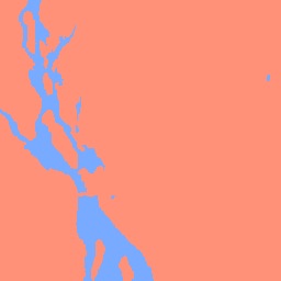
Sar Superpixel Classification
This project implements an object-based image analysis (OBIA) workflow for SAR image segmentation and classification using superpixels and Random Forest (RF) classification. The goal is to distinguish water and non-water regions in synthetic aperture radar (SAR) imagery.
Learn more →
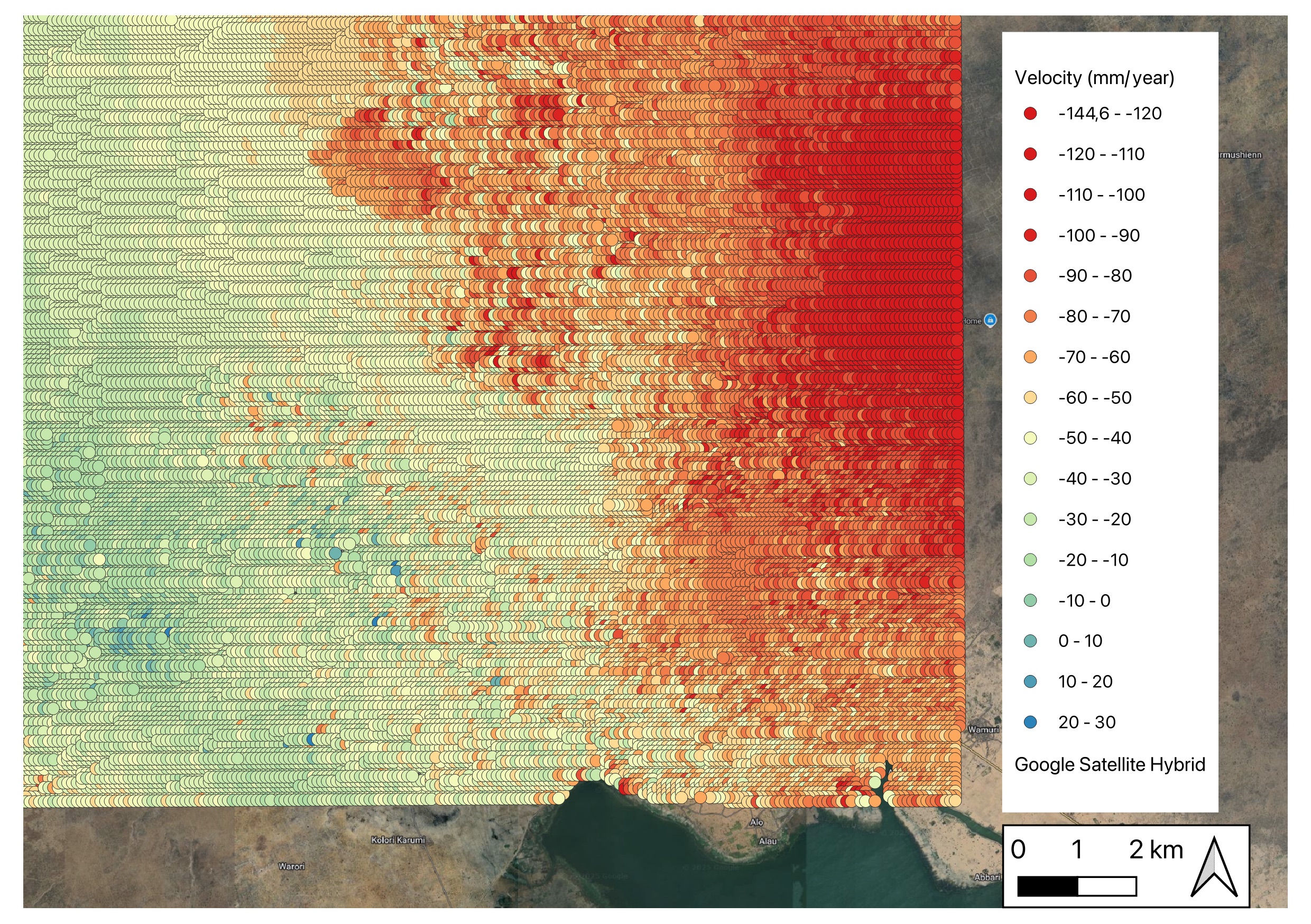
SBAS-InSAR Dam Deformation Monitoring
Monitoring and analysis of surface deformation from July 2022 to October 2024. Motivated by reports of a potential dam collapse in 2022 and subsequent flooding in September 2024, Sentinel-1 ascending orbit SAR data from July 2022 to October 2024 were processed to generate interferograms for the time series analysis. Time-series deformation and velocity maps were generated to detect any precursory ground movements that may have signaled structural instability.
Learn more →
The Women Learn Program
In 2023, I piloted the Women Learn Program (WLP) through The GIS Girl, a social impact initiative that supports diversity in the geospatial industry. Through this program, my co-facilitator and I wanted to create a space where: modern and innovative geospatial skill sets are being learned to help professionals, especially women keep up with technology and ensure that they are able to contribute to projects that matter to them and they remain relevant as the tech space grows.
Learn more →
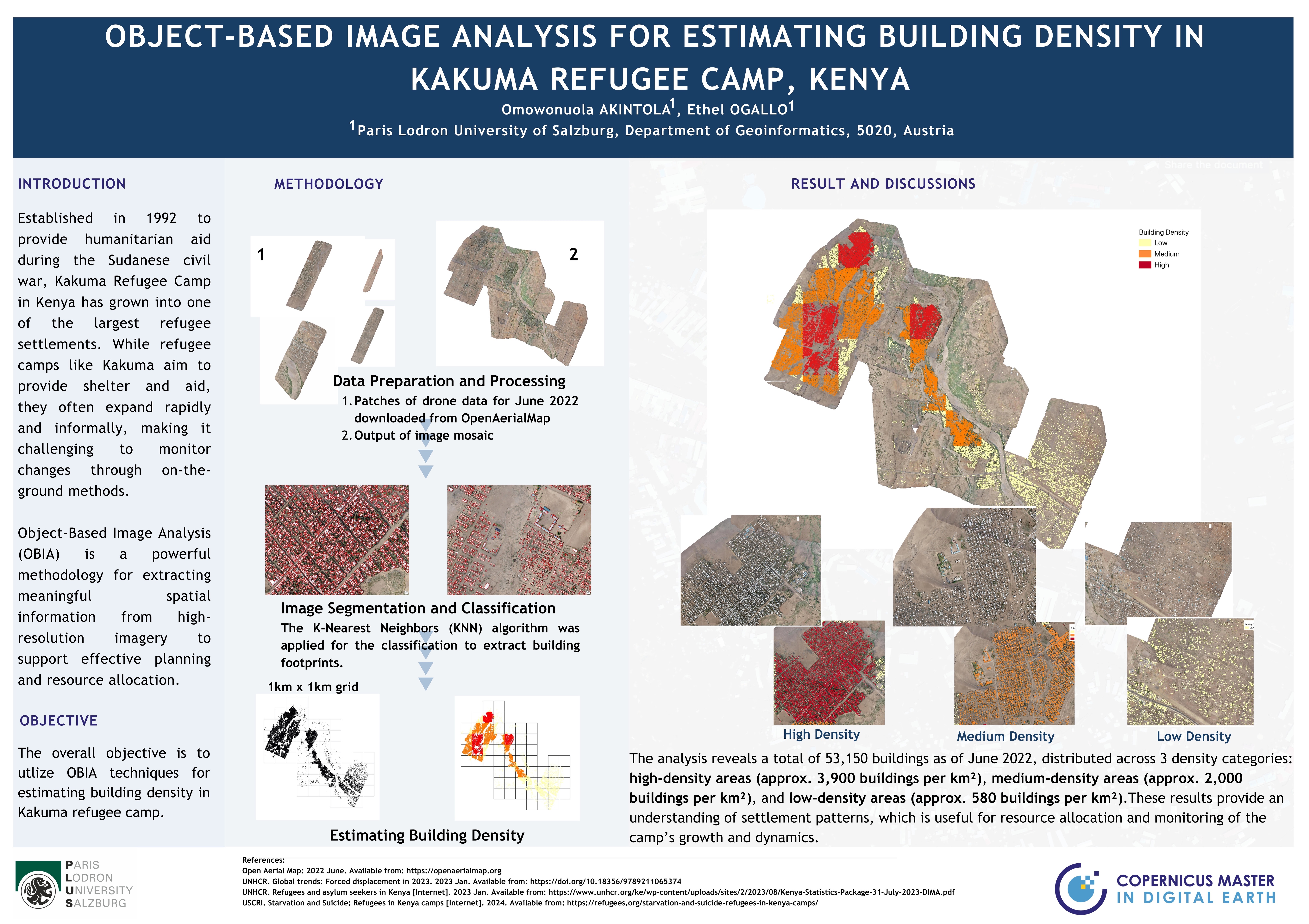
OBIA for Estimating Building Density in Refugee Camp
Object-Based Image Analysis (OBIA) is a powerful methodology for extracting meaningful spatial information from high-resolution imagery to support effective planning and resource allocation in refugee camps. This project is presented in a simple poster presentation format
Learn more →